Datoteka:Bundesautobahn 38 map.png

Veličina ovog prikaza: 444 × 600 piksela. Ostale razlučivosti: 178 × 240 piksela | 355 × 480 piksela | 569 × 768 piksela | 1.122 × 1.515 piksela.
Vidi sliku u punoj veličini (1.122 × 1.515 piksela, veličina datoteke: 77 KB, MIME tip: image/png)
| Ova je datoteka sa Zajedničkog poslužitelja i mogu je rabiti drugi projekti. Opis s njezine stranice s opisom datoteke prikazan je ispod. |

|
This road map image could be re-created using vector graphics as an SVG file. This has several advantages; see Commons:Media for cleanup for more information. If an SVG form of this image is available, please upload it and afterwards replace this template with
{{vector version available|new image name}}.
It is recommended to name the SVG file “Bundesautobahn 38 map.svg”—then the template Vector version available (or Vva) does not need the new image name parameter. |
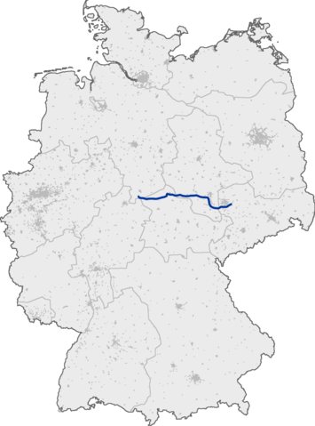
Deutsch: Lage der Bundesautobahn 38 innerhalb Deutschlands
English: Bundesautobahn 38 in Germany
This image was generated with OpenGeoDB. The information there is placed in the public domain, images generated from OpenGeoDB are derivative works without passing the threshold of creativity, they are therefore also public domain.
| This work is ineligible for copyright and therefore in the public domain because it consists entirely of information that is common property and contains no original authorship. |
Povijest datoteke
Kliknite na datum/vrijeme kako biste vidjeli datoteku kakva je tada bila.
| Datum/Vrijeme | Minijatura | Dimenzije | Suradnik | Komentar | |
|---|---|---|---|---|---|
| sadašnja | 21:24, 13. rujna 2005. | | 1.122 × 1.515 (77 KB) | Qualle | Bundesautobahn 38 in Germany {{GFDL-OpenGeoDB}} 038 |
Uporaba datoteke
Na ovu sliku vode poveznice sa sljedećih stranica:
Globalna uporaba datoteke
Sljedeći wikiji rabe ovu datoteku:
- Uporaba na fr.wikipedia.org
- Uporaba na hu.wikipedia.org
- Uporaba na ja.wikipedia.org
- Uporaba na ko.wikipedia.org
- Uporaba na no.wikipedia.org
- Uporaba na pt.wikipedia.org