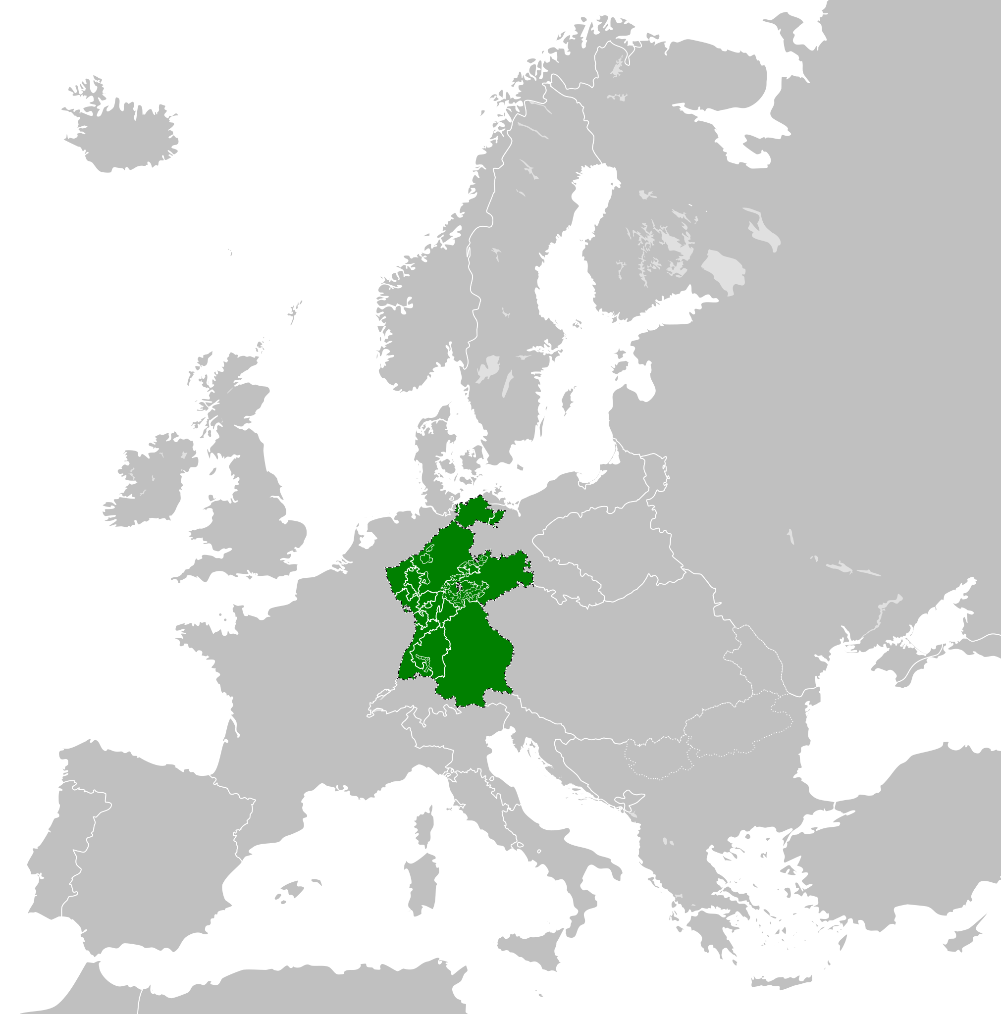
Datoteka:Confederation of the Rhine (1812).svg

Veličina ovog PNG prikaza ove SVG datoteke: 450 × 456 piksela. Ostale razlučivosti: 237 × 240 piksela | 474 × 480 piksela | 758 × 768 piksela | 1.011 × 1.024 piksela | 2.021 × 2.048 piksela.
Vidi sliku u punoj veličini (SVG datoteka, nominalno 450 × 456 piksela, veličina datoteke: 611 KB)
| Ova je datoteka sa Zajedničkog poslužitelja i mogu je rabiti drugi projekti. Opis s njezine stranice s opisom datoteke prikazan je ispod. |
Sažetak


.svg)
.svg)
.svg)
.svg)
.svg)


.svg)
.svg)
.svg)


.png)
.png)


.svg)


.svg)

.svg)


.svg)
.svg)
.svg)
.svg)


.svg)
.png)


.svg)


.svg)
.svg)


.svg)


.svg)


.svg)
.svg)
.svg)
.svg)
.svg)
.svg)
.svg)
.svg)
_cropped.svg)
.svg)
.svg)
.svg)
.svg)
.svg)
.svg)
.svg)
.svg)
.svg)
.svg)
.svg)
.svg)
.svg)
.svg)
.svg)
.svg)
.svg)
.svg)
.svg)
.svg)
.svg)
.svg)
.svg)
.svg)
.svg)
.svg)
.svg)
.svg)
.svg)
.svg)
.svg)
.svg)
.svg)
.svg)
.svg)
.svg)
.svg)
.svg)
.svg)
.svg)
.svg)
.svg)
.svg)
.svg)
.svg)
Povijest datoteke
Kliknite na datum/vrijeme kako biste vidjeli datoteku kakva je tada bila.
| Datum/Vrijeme | Minijatura | Dimenzije | Suradnik | Komentar | |
|---|---|---|---|---|---|
| sadašnja | 16:59, 5. siječnja 2018. | | 450 × 456 (611 KB) | TRAJAN 117 | +++ |
| 17:35, 3. listopada 2013. |  | 450 × 456 (607 KB) | Alphathon | Added constituent states | |
| 20:34, 30. srpnja 2012. |  | 450 × 456 (464 KB) | Alphathon | Fixed some principalities | |
| 19:07, 23. veljače 2012. |  | 450 × 456 (444 KB) | TRAJAN 117 | {{Information |Description ={{en|1=The Confederation of the Rhine in 1812.}} |Source ={{own}} {{AttribSVG|First French Empire 1812.svg|Alphathon}} |Author =25px '''[[User:TRAJAN 117|TRAJAN 1... |
Uporaba datoteke
Na ovu sliku vode poveznice sa sljedećih stranica:
Globalna uporaba datoteke
Sljedeći wikiji rabe ovu datoteku:
- Uporaba na ast.wikipedia.org
- Uporaba na azb.wikipedia.org
- Uporaba na be.wikipedia.org
- Uporaba na cs.wikipedia.org
- Uporaba na da.wikipedia.org
- Uporaba na de.wikipedia.org
- Uporaba na el.wikipedia.org
- Uporaba na en.wikipedia.org
- Uporaba na es.wikipedia.org
- Uporaba na eu.wikipedia.org
- Uporaba na fi.wikipedia.org
- Uporaba na gd.wikipedia.org
- Uporaba na gl.wikipedia.org
- Uporaba na he.wikipedia.org
- Uporaba na hu.wikipedia.org
- Uporaba na id.wikipedia.org
- Uporaba na it.wikipedia.org
- Uporaba na ja.wikipedia.org
- Uporaba na ko.wikipedia.org
- Uporaba na lt.wikipedia.org
- Uporaba na lv.wikipedia.org
- Uporaba na mk.wikipedia.org
- Uporaba na mn.wikipedia.org
- Uporaba na ms.wikipedia.org
- Uporaba na pl.wikipedia.org
- Uporaba na pt.wikipedia.org
- Uporaba na ru.wikipedia.org
- Uporaba na sco.wikipedia.org
- Uporaba na sk.wikipedia.org
- Uporaba na sl.wikipedia.org
- Uporaba na sv.wikipedia.org
- Uporaba na th.wikipedia.org
- Uporaba na tr.wikipedia.org
- Uporaba na www.wikidata.org
- Uporaba na zh-yue.wikipedia.org
- Uporaba na zh.wikipedia.org
.svg)