Datoteka:Kusaie (Kosrae).jpg

Viša rezolucija nije dostupna.
Kusaie_(Kosrae).jpg (497 × 166 piksela, veličina datoteke: 63 KB, MIME tip: image/jpeg)
| Ova je datoteka sa Zajedničkog poslužitelja i mogu je rabiti drugi projekti. Opis s njezine stranice s opisom datoteke prikazan je ispod. |
Sažetak
| Opis |
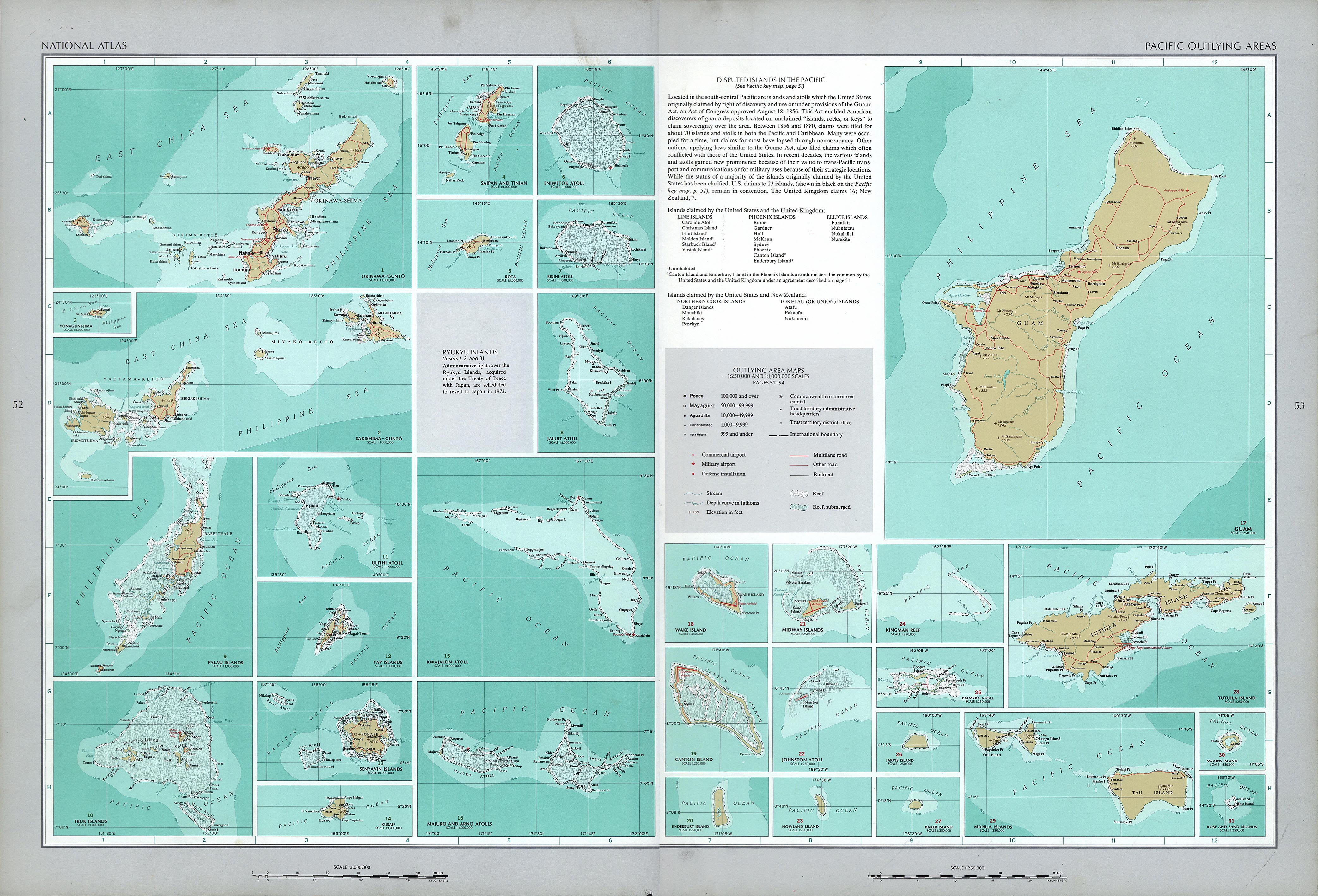
English: National Atlas of the United States, page "Pacific Outlying Areas", with map insets:
|
| Datum | |
| Izvor | https://www.lib.utexas.edu/maps/national_atlas_1970/ca000040.jpg |
| Autor | United States Department of the Interior |
| Ostale inačice |


.jpg)
Licencija
This work is in the public domain in the United States because it is a work prepared by an officer or employee of the United States Government as part of that person’s official duties under the terms of Title 17, Chapter 1, Section 105 of the US Code.
Note: This only applies to original works of the Federal Government and not to the work of any individual U.S. state, territory, commonwealth, county, municipality, or any other subdivision. This template also does not apply to postage stamp designs published by the United States Postal Service since 1978. (See § 313.6(C)(1) of Compendium of U.S. Copyright Office Practices). It also does not apply to certain US coins; see The US Mint Terms of Use.
|
 | |
| Ova datoteka je identificirana kao slobodna od poznatih ograničenja po zakonu o autorskim pravima, uključujući sva povezana i srodna prava. | ||
Povijest datoteke
Kliknite na datum/vrijeme kako biste vidjeli datoteku kakva je tada bila.
| Datum/Vrijeme | Minijatura | Dimenzije | Suradnik | Komentar | |
|---|---|---|---|---|---|
| sadašnja | 15:29, 17. listopada 2016. | 497 × 166 (63 KB) | Mauerquadrant | Cropped 5 % horizontally and 18 % vertically using CropTool with precise mode. | |
| 15:28, 17. listopada 2016. | 521 × 203 (68 KB) | Mauerquadrant | File:National Atlas of the USA 1970 - Pacific Outlying Areas.jpg cropped 88 % horizontally and 93 % vertically using CropTool with precise mode. |
Uporaba datoteke
Na ovu sliku vode poveznice sa sljedećih stranica:
.jpg)